
York Township ZIP Code Coverage
York Township is not one postal city. Official Township and County materials directly evidence three delivery examples, but they do not supply a complete municipal postal-polygon layer. The table is therefore an evidence table, not an exhaustive list of every possible delivery overlap. A ZIP code identifies a mailing route and postal community. It does not settle whether an address lies in York Township, Dallastown Borough, Red Lion Borough, Yoe Borough, or the City of York.
| ZIP | Areas Covered | Post Office | Notes |
|---|---|---|---|
| 17313 | Dallastown postal community; Township administration example | Dallastown postal community | York Township municipality is not necessarily Dallastown Borough. |
| 17402 | York postal community; east-central Township public-facility and County-metadata examples | York postal community | A York mailing city is not proof of the City of York municipality. |
| 17403 | York postal community; southern-western Township park examples | York postal community | Confirm each full address before treating it as a current delivery result. |
No authoritative source reviewed for York Township confirmed a full ZIP boundary overlay, additional delivery areas, a postal split date, or a realignment year. Do not fill that gap with a broad postal website. Use the full address and the official delivery check, then verify the parcel municipality in County records.
York Township Address Confirmation
The official USPS ZIP Lookup is the direct current-delivery check. Enter a complete street address rather than relying on a community name alone. The result helps confirm the address format and current postal routing. It does not confirm that a particular person, household, or organization is at that address. That limit is important when a York postal label appears beside a Township parcel.
For an older address, retain the delivery result as one research note, not as the final answer. Compare it with the Township map, the County assessment municipality field, and a dated deed or other primary record when the question involves a historic boundary or property trail. USPS provides delivery confirmation; the local custodian supplies the municipal record context.
York Township ZIP Code Limits
County portals are built around parcels and addresses, not a verified postal-wide filter. York County Real Estate Assessment Data is documented for owner, address, and parcel work. The Property Viewer can locate or geocode an address, show a parcel polygon, and display municipal context. The researched interface did not confirm a ZIP code filter. GIS address-point data includes a ZIP attribute, but that does not establish that the public viewer can run a ZIP-wide search.
| Tool | Documented inputs or results | Limit |
|---|---|---|
| USPS full-address lookup | Current delivery address and postal result | One address at a time; no person confirmation. |
| County Assessment | Owner name, address, parcel/PIDN, and assessment context | Address, owner, and parcel oriented; no verified postal filter. |
| County Property Viewer | Address/geocode, parcel boundary, roads, and municipal context | Map and parcel inquiry; no documented ZIP-wide mode. |
| PA voter-status tool | An individual's registration and polling context when matched | Individual tool, not a ZIP filter or a public browse list. |
Ask York County to validate a current ZIP overlay before relying on any broader GIS analysis. Until then, the documented fallback is a full-address USPS check followed by parcel and municipality verification. For York Township, save the search date, the returned delivery label, the municipal field, and the PIDN or UPI in the same note. That small record of the process makes it clear which system supplied each fact and avoids merging postal data with land-record data.
The County says its public assessment data updates weekly. For York Township parcel work, verify the municipal result before relying on even a correctly formatted address. The viewer can display owner name, municipality, sale price, school district, assessed value, estimated face-value taxes, roads, and property lines. Those are parcel facts. They do not establish every person connected with an address.
Search York Township by ZIP
Postal geography can narrow an address check, but it cannot create a Township-wide name list. Start with one complete address and record the delivery result. Then use the address, parcel number, or property identifier in the County tools that are actually documented. This keeps the work anchored to an official parcel rather than an assumed municipal or postal boundary.
- Run the complete address through USPS and save the returned delivery format.
- Search the same address in County Assessment, then confirm that the municipal field says York Township.
- Open the Property Viewer, select the parcel, and record its PIDN or UPI with the situs address.
- Compare the Township political-boundary map before treating a borough or York label as the municipality.
- When the desired area has no verified public filter, ask the County to confirm an authoritative overlay instead of estimating the boundary.
The Pennsylvania voter-status tool is individual only, and the inspected materials did not document a postal filter there. It should not be substituted for address or parcel confirmation. County election-list access follows separate statutory rules and is not a general purpose postal search.
York Township ZIP Terms
Postal terms and land-record terms answer different questions. Keeping them separate avoids treating a delivery label as if it were the County's parcel identifier or a municipal boundary. York Township researchers should save the situs address, mailing address, postal label, and legal description as separate values when each is available. They may match. They are not interchangeable, and a difference between them can be the reason a record appears under an unexpected community heading.
- ZIP
- A postal routing label used to deliver mail to an address or postal community.
- ZIP+4
- An added delivery segment that makes a mailing address more specific; it does not establish municipal jurisdiction.
- PO-box ZIP
- A postal label for a post-office box service, which may differ from the delivery label for a street address.
- Unique ZIP
- A postal assignment for one organization or large recipient; no such York Township example was verified here.
- Carrier route
- A mail-delivery grouping, not a legal parcel description or a statement of municipal limits.
York Township ZIP Code Boundaries
A borough or City of York label cannot be inferred from a postal city. York Township's official material uses Dallastown 17313 for administration, York 17402 for public-facility and County-record examples, and York 17403 for Township park examples. Those labels show why municipal and postal geography must be compared address by address. The County Assessment municipal field and parcel/GIS context are the appropriate local checks.
York Township's official maps and downloads supply political-boundary, parcel, road, zoning, ward, and land-use context.
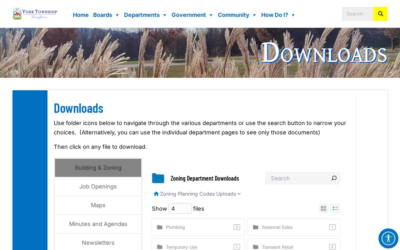
The maps help place an address in the Township's government geography. They do not replace an address-level USPS delivery result or supply an unverified municipal ZIP polygon. The Township's zoning map was amended on May 22, 2026. That current map date helps locate present land-use context, but it does not change historic identity evidence.
York Township Postal Geography
The local quirk is historical as well as postal. York Township formed in 1753. Dallastown, Red Lion, and Yoe later incorporated from denser southeastern Township territory in 1867, 1880, and 1893. The Township became first class in 1959 and established five wards. Older records can therefore use a community name that does not match a modern Township boundary. The safest historic search combines the then-current place name with the property's legal parcel information.
Township maps and current municipal fields resolve the present location. For historical records, preserve both the old postal or borough heading and the current parcel context. That comparison is more reliable than forcing every earlier address into today's delivery label. In York Township, a historical place name can be an important search term even when the current address receives mail under a different community name.
York Township Parcel Labels
A mailing label is not a parcel identity. The situs address is the physical parcel or building location. A mailing address is where an owner receives tax correspondence, which can be elsewhere. The legal description uses the UPI with lot, block, subdivision, or metes-and-bounds detail in recorded documents. York County's PIDN and UPI tools make a stronger bridge between a map location and a deed than a postal label alone.
York County's Property Viewer item documents the current public viewer and its municipal-map context.
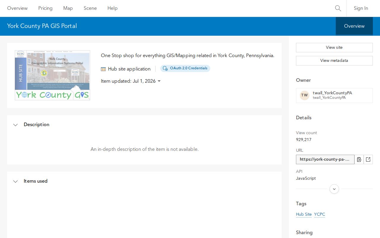
Use the viewer to confirm the parcel and municipality tied to a known address. The viewer's parcel results do not transform a postal label into a Township-wide resident search.
York Township Boundary Timeline
Local dates explain why address research needs both postal and municipal checks. They do not establish a postal realignment, because no official Township-wide realignment year was verified.
| Date | Verified milestone |
|---|---|
| 1753 | York Township formed. |
| 1867 | Dallastown incorporated from denser southeastern Township territory. |
| 1880 | Red Lion incorporated from that historical Township area. |
| 1893 | Yoe incorporated from that historical Township area. |
| 2026 | County GIS and assessment items reported current updates, so live interface behavior should be checked when research is performed. |
Use the map, full-address delivery check, and parcel municipality together. When they do not align, ask the responsible County or Township custodian for the authoritative boundary or record.