
Map a York Township Street
Begin a York Township street search with the exact property address in the county assessment database or Property Viewer. Select the parcel and confirm that its municipality field says York Township before treating it as a Township record. Record the PIDN or UPI, the owner field, the situs and mailing fields, and the deed Record Book/Page. That creates a trail based on the parcel rather than a postal-city guess. Pan along the road only to identify nearby parcels and road context, not to make an occupancy claim.
- Search the address in Assessment or the map, select the parcel, and verify the municipal field, PIDN or UPI, and property situs.
- Read the owner detail and copy the current Record Book/Page. Keep the owner mailing address labeled as a tax-contact field.
- Use Book/Page in the Recorder channels. Read the deed's legal description, grantor, grantee, date, and parcel references before linking it to an earlier transfer.
- For a lawful election purpose, use the county's restricted Street List request process. The individual state tool checks one voter and is not a street browser.
- When a past household question remains, ask the History Center or Local History Room about a dated reverse or criss-cross directory under each relevant community heading.
That sequence separates land evidence from household evidence. It also avoids treating a name on a map or deed as proof that a person currently lives at the address.
York Township Street Search Fields
The York County Real Estate Assessment Data service is the best first stop for a street directory search. The county describes it as the public version of its internal database and states that it is updated weekly. Its linked Property Viewer adds map context. Search modes can change with vendor maintenance, so the table reflects the documented controls and parcel details rather than guessing at a current form label.
| Assessment control | Input type | Needed? | York County use |
|---|---|---|---|
| Basic Search | Tab | No | Public assessment search mode. |
| Advanced/Sales Search | Tab | No | Alternate assessment and sale research mode. |
| Map Search | Tab | No | Moves an address search into parcel-map context. |
| Owner last and first name | Text | No | The Recorder's deed workflow specifies last name, then first name. |
| Property, address, or parcel | Text or map | No | Cross-check the address with the selected parcel. |
| PIDN or UPI | Parcel detail | No | Identifies a separate parcel for the deed trail. |
| Pan, zoom, and select | Map controls | No | Click a parcel and inspect its weekly updated attributes. |
The Viewer reports owner name, municipality, sale price, school district, assessed value, estimated face-value taxes, roads, and property lines. Its purpose is parcel research. A selected polygon can show where property lies along a street, but it cannot identify every person associated with a building.
York County's assessment information page shows the official owner, parcel, and tax-data route used for a York Township street directory search.
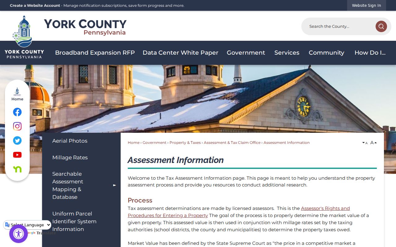
The assessment route is useful because it connects an address to the identifiers needed for the next official record, rather than turning the property record into a resident list.
York Township Situs Address Clues
Three address fields can look alike while serving different purposes. The situs is the physical parcel or building location. An owner mailing address tells Assessment where tax correspondence goes. A legal description uses the UPI plus lot, block, subdivision, or metes-and-bounds language in recorded documents. On a York Township street, the mailing field may belong to an owner, fiduciary, or business elsewhere. It must not be presented as evidence that the named owner occupies the property.
- Parcel
- A separately identified lot, tract, or piece of land in the assessment and map system.
- Situs address
- The physical location of the parcel or building, used to place the property on a street.
- Plat
- A recorded plan that can show lots, blocks, streets, and a subdivision's layout.
- Criss-cross directory
- A reverse-style directory arranged from address to listed name, if a collection actually holds that edition.
A legal description often remains useful when an address is incomplete or a parcel has more than one identifier. Compare it with the selected map polygon and Book/Page before joining records from different dates.
York Township Deed Index Quirk
Book/Page from assessment opens the recorded-title part of a York Township street directory search. The Recorder's index tracks grantors and grantees, and it can also index FKA, DBA, NKA, and AKA names, as well as trustees and partners. A grantor is the party transferring an interest; a grantee is the party receiving it. Once a current deed is found, search the seller as an earlier grantee and compare the legal description, lot or block, UPI, and date before repeating the process.
This cross-indexing is a useful local quirk, not a shortcut around comparison. An older deed may use a former name, a role, or a prior community label. Searching both party roles and known variants can uncover a recorded connection that a single spelling misses. Mortgages, releases, easements, restrictions, and subdivision plats can add property context, yet none establishes who presently occupies a home.
The York County Recorder of Deeds provides the Landex and records-alert entry points used after Book/Page is identified.
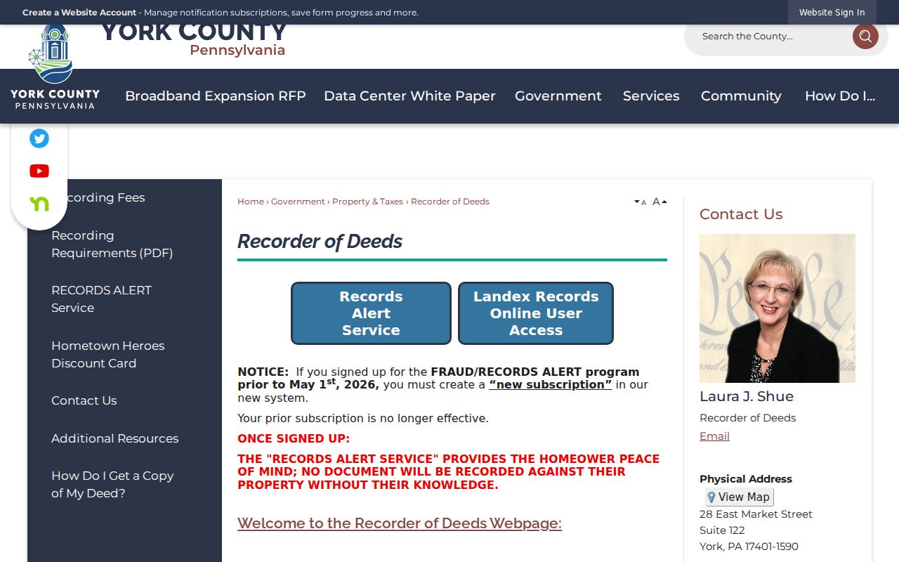
Use the Recorder source to reach the proper deed channel, then verify the cited book, page, date, and legal parcel against the assessment result.
Note: Recorder records can be redacted, and military discharge papers are not a public street-search source.
York Township Deed Access Compared
York County's deed access is not one universal online cutoff. Use the channel that fits the document and date. Landex covers deeds and miscellaneous documents from 1944 forward, mortgages from 1974 forward, and parcel-ID lookup from 2001 forward. IQS provides a remote route for documents from 1749 to 1980, and the Recorder directs pre-1944 research to IQS Search as Guest. The overlapping dates are a reason to check the document type and citation, not to assume one result set is complete.
| Route | Document or period | Practical access |
|---|---|---|
| Landex | Deeds and miscellaneous documents, 1944-present; mortgages, 1974-present | Use Book/Page and Recorder entry route. |
| IQS Search as Guest | Earlier deeds and remote documents, 1749-1980 | Free lookup; prints are $0.80 per page. |
| Recorder public terminal | Record research by cited document | Counter searching is free; standard copies are $0.50 per page and document certification is $1.50. |
| Archives or History Center | Historic gaps, microfilm, and collection guidance | Use the parcel and citation to make a focused inquiry. |
York County Archives begins with county records from August 1749, while the York County History Center can assist with microfilm and local-history context. These are complementary channels, not competing proof sources. A precise Book/Page or legal description makes an on-site question much easier to answer.
York Township Street Record Coverage
Address-keyed sources should be read as a set of separate evidence types. The assessment and GIS route establishes a parcel and tax-owner context. The Recorder carries dated title parties. Township files can show a project or review if an existing releasable record is requested. The county voter-list channel has a specific statutory purpose, not general street-directory use. Together, those sources make a more careful street-by-street record trail than any one field alone.
| Address record | York County keeper | What it can show | Access boundary |
|---|---|---|---|
| Assessment and tax roll | Assessment & Tax Claim | Owner, parcel, municipality, sales, value, and tax context | Public database, with weekly stated updates. |
| GIS Property Viewer | Planning Commission GIS | Parcel lines, roads, owner and map context | Free map; a parcel is not a household roster. |
| Deed or mortgage | Recorder of Deeds | Parties, legal description, recording citation, and title trail | Landex, IQS, terminal, Archives, or History Center by date. |
| Street voter list | Elections & Voter Registration | Statutory voter fields for eligible election-related requests | County procedure and written-use limits apply. |
| Building or zoning file | York Township Open Records Officer | Project, applicant or agent, plans, and inspection timing when releasable | No public searchable results database was verified. |
The PIDN or UPI carries the parcel between assessment, map, and recorded documents. The street name helps orient the search but is less stable than a legal description for older title research.
York Township Voter Street Lists
Pennsylvania's online voter-registration status tool checks an individual and polling context. It is not a way to browse a York Township street. A separate county route exists for qualifying York County electors who need a Street List for an election, political activity, or law-enforcement purpose. The list can include voter name, residential and mailing addresses, party, and status. It is a regulated election record, not material for publishing a general people list.
York County requires the voter-list request form to be delivered in person or by mail. Electronic copies cost $20 and printed copies cost $0.50 per page. The requester supplies the required use statement. Pennsylvania Election Code sections 1207 and 1404 govern access safeguards, and section 1404 bars uses unrelated to elections, political activities, or law enforcement. Signatures and SURE numbers are excluded from the public-information list.
York County's voter-list instructions set out the request route and election-record limits for a York Township street directory inquiry.
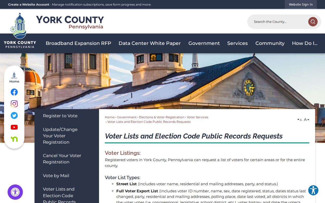
The county procedure preserves the distinction between lawful election records and a broad online street search.
Note: A voter-list field never reveals a ballot choice, and an individual status result does not prove who else lives at an address.
York Township Address Permit Files
Building, zoning, code, development, and planning files can strengthen an address timeline when the Township holds an existing releasable record. The reviewed Township materials did not identify a public address or name search for permits. A targeted request is therefore the proper route. State the exact address or PIDN, the project or record type, and an approximate year. That request may identify permit applications, plan review, applicant or agent information, inspections, or project timing without turning a property file into proof of residence.
Use the Township's written RTKL procedure through the Open Records Officer. Requests may be submitted to RTK@yorktownshippa.gov, by mail, or in person, must identify the requested record with enough specificity, and must include the requester's name and address. The officer has an initial response period of no more than five business days. The Township need not create a record or compile a new one, and it may require prepayment for estimates above $100.
The York Township open-records guide supplies the form and submission details. It is the right fallback for an individual street file that is not online.
York Township Postal Address Check
A York or Dallastown mailing address does not settle the municipality. Township administration uses Dallastown 17313. Township facilities and records also use York 17402, and Township park examples use York 17403. Confirm the property through the assessment municipal field and GIS parcel, then use the complete address in the official USPS ZIP Lookup for current delivery formatting. USPS confirms a delivery ZIP, not a person's presence at that address.
Old records add another layer. York Township formed in 1753, and Dallastown, Red Lion, and Yoe later incorporated from its denser southeast territory. A historical title or directory may use a municipal label that differs from the present boundary. No authoritative source reviewed documented a Township-wide street renumbering, so none should be assumed. Use the legal description, plat, and official maps to reconcile an older address.
Note: A postal city and ZIP code are delivery details, while the municipal field identifies the local-government context for a parcel.
York Township Criss-Cross Inquiry
A historical reverse or criss-cross directory can sometimes associate an address with a listed household, making it a useful complement to title records. No authoritative source reviewed published an exact local year run for York Township, nor did it verify a public scanned entry. Ask the York County History Center or York County Libraries' Local History Room by catalog or in-person inquiry about a possible street, reverse-directory, telephone-book, or city-directory holding.
Search under York Township as well as Dallastown, Red Lion, Yoe, and York, because publishers and boundary history may use different headings. State the address, the estimated year, and whether the question is about an occupant listing or a street-by-street directory. A staff member can confirm whether a real edition exists before any entry is relied upon. That is more reliable than inventing a directory year or treating a modern parcel owner as a historical household.
Limits of a Street Directory
A street directory built from public records can identify parcels, tax owners, recorded title parties, and limited historical or election evidence. It cannot establish every current occupant. There is no verified public household, utility-customer, or DMV address list for this purpose. Protected addresses may also appear as substitutes through Pennsylvania's Address Confidentiality Program, and court, vital, or Recorder records can have separate access and redaction limits.
Lawful personal use. York Township address records are for careful personal, family-history, property, or civic research. Do not use a street search to stalk, harass, intimidate, or harm anyone. Pennsylvania's harassment and stalking laws, 18 Pa.C.S. §§2709 and 2709.1, can apply to misuse.
When the sources conflict, preserve the uncertainty and confirm the parcel, date, and party role with the custodian. A current owner, a tax-mailing address, a deed party, and a voter record each describe different facts.