
York Township Neighbors by Parcel
Public records around a York Township block describe parcels, ownership, dated title, and public agency activity. They do not identify every person at an address. The official method starts with the map rather than a name. Verify that the municipal field says York Township, then use the parcel identifier and road context to distinguish a nearby lot from a similar address in another municipality. The county records can support a property question; they cannot create a household roster.
| Source | What It Shows About a Block | Access |
|---|---|---|
| Property Viewer | Parcel lines, roads, owner and map context, adjacent polygons | Free map and weekly parcel layer |
| Assessment roll | Owner, parcel/PIDN, municipality, tax and property context | Public assessment database |
| Recorder chain | Title parties, dated transfers, and legal parcels | Landex, IQS, office, or Archives |
| Voter Street List | Defined statutory voter fields by street | Eligible requester and restricted use |
| Township records | Existing permit, code, planning, or meeting evidence | Specific written RTKL request or public contact layer |
An owner entry is not proof of current residence. The assessment record separates the property situs, meaning its physical location, from the mailing address used for tax correspondence. That address may belong to an owner, fiduciary, business, or another destination. A recorded deed confirms title parties and legal parcel facts, not who occupies the property. This distinction is central to a York Township neighbor lookup.
Map York Township Neighbors
The York County Property Viewer is the official adjacent-parcel method. Search or geocode the target address, or pan to it on the map. Select the target polygon and retain its PIDN and owner context. Then zoom out or pan until directly touching parcel boundaries are visible. Select each touching polygon and compare the municipality, road, and PIDN before treating it as part of the immediate block.
- Enter the address, then select the target parcel rather than relying on a nearby map label.
- Confirm the municipal field says York Township and record the target PIDN or UPI.
- Pan to parcels that share a boundary with the target. Click each polygon and retain its road, municipality, PIDN, and owner context.
- Open the matching assessment record when parcel detail needs a second check.
- Use the Recorder only when the question is title or a dated transfer, not current occupancy.
Road lines, parcel boundaries, and map imagery help define the immediate block. A map view or line of sight does not establish who lives at a property. The County parcel layer supports map and feature queries and is updated weekly, so record the date of any result used for a property question.
York Township Lookup, Not People
The Property Viewer shows parcel boundaries, roads, owner and map context. The Assessment record can show an owner, municipality, sale information, value, tax context, and a mailing address. Those are useful property facts. They never establish all occupants, non-owner residents, or household members. Do not turn an owner name into a claim about a neighbor’s presence at the property.
| Official record | Reliable block fact | Boundary |
|---|---|---|
| County parcel and assessment records | Parcel, municipal location, owner context, situs and tax-mailing distinction | Not an occupancy roster |
| Recorder title record | Grantor, grantee, recording date, Book/Page, and legal description | Title parties are not proof of occupancy |
| Commercial neighbor-search category | Convenient compiled leads that may be old or incomplete | Verify independently; do not treat as an official parcel record |
This comparison is why official records are the safer starting point. They label the source and scope of a fact. A title record can connect a party to a legal parcel, while assessment can show a tax owner and mailing context. Neither source supplies a complete list of people behind a door.
York Township Lookup Title Trails
When a block question concerns ownership history, take the current parcel’s Book/Page, UPI, and legal description to the York County Recorder of Deeds. The current deed identifies grantor and grantee parties, recording details, and the legal parcel. To go backward, search a seller as an earlier grantee and compare the lot, block, subdivision, or legal description. A street number can change; the legal parcel is the steadier link.
Landex has deeds and miscellaneous documents from 1944 forward and mortgages from 1974 forward. IQS provides a remote path for older material and the Recorder directs pre-1944 research through its guest route. The Recorder public terminal, County Archives, and History Center are additional paths when an online chain ends. These channels overlap, so they do not form one simple cutoff.
Note: Mortgages, releases, easements, plans, and restrictions can explain a parcel but do not identify current occupancy.
York Township Lookup Voter Limits
Pennsylvania’s voter-status tool is for confirming one individual’s status and polling context. It is not a public neighborhood browser. A matched result does not show whether other people at an address are registered or live there. York County’s street and full-list channels are different: they are available only through the county procedure for qualified requesters and defined uses.
The county Street List can include voter name, residential and mailing address, party, and status. Its Full Voter Export List carries additional electoral fields, not ballot choices. Under 25 Pa.C.S. §1404, users must provide a written use statement, and list information cannot be used for purposes unrelated to elections, political activities, or law enforcement. The York County voter-list instructions set the request channel, including in-person or mail delivery.
For a full named-street property chain, use the York Township street directory. The address-by-address parcel method remains the right scope for nearby lots.
York Township Neighbor Contact Gap
No verified Township-wide HOA, neighborhood-association, or member-directory inventory was found in the reviewed official sources. Do not borrow the City of York’s neighborhood-association material for York Township. The Township’s own public layer is useful for civic context, but it does not establish a membership list or a block roster.
Township Public Contacts
York Township community contacts identify municipal, civic, volunteer, and nearby institutional context. Contact an organization directly before relying on any roster or historical list.
Meetings and Ward Context
Township maps and downloads provide public ward, zoning, political-boundary, road, and parcel context. They locate an address in public geography, not in a membership directory.
The Township community page provides the verified public-contact layer for this municipality.
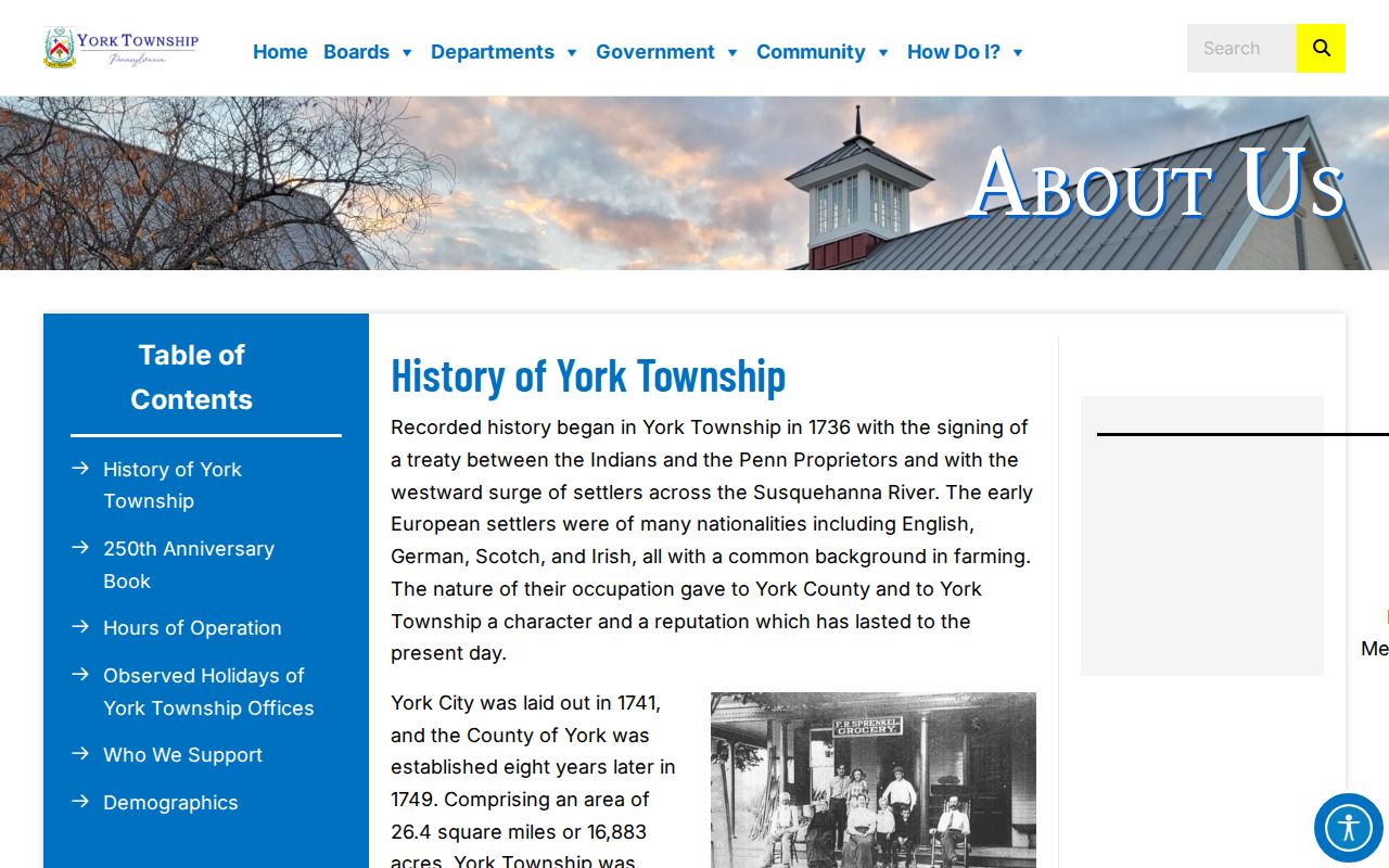
Public contacts can help locate an appropriate office or civic resource without claiming that its members are publicly listed.
York Township Lookup Postal Borders
Postal city labels do not decide municipality. York Township administration uses a Dallastown mailing address, while other Township records use York mailing addresses. That is a records-geography quirk, not evidence that the parcel lies in Dallastown Borough or the City of York. Use the municipal field in the Property Viewer and Assessment record before connecting any adjacent parcel to a York Township block.
Use the official USPS ZIP Lookup with the complete street address to confirm delivery information. USPS does not treat a ZIP result as proof that a person or organization is at the address. The Township’s maps add political and parcel boundaries, which are more useful than a postal city label when the immediate block crosses a municipal edge.
York Township Lookup Permit Requests
York Township has no reviewed public permit or people-results registry. A building, zoning, code, or planning file can provide address-specific project, applicant, plan, inspection, or timing context only when an existing releasable record is obtained from the Township. It remains evidence of a property event, not an identity list. Name the address, PIDN, project, and approximate year when asking for a record.
Township Building and Zoning describes the local permit and code function, but not a searchable result database.
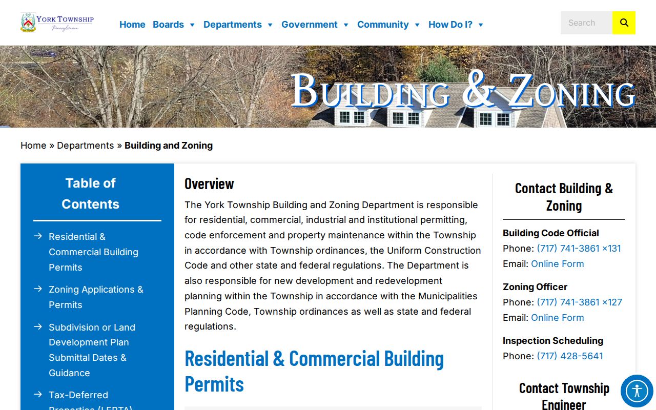
The department information supports a focused address-record request instead of a broad search for people around a block.
Use the Township Right-to-Know process as the fallback. The written form needs a sufficiently specific record description, requested medium, and requester name and address; it may be submitted by email, mail, or in person. The agency need not create or compile a new record. Pennsylvania’s RTKL is a route to existing agency records, not a way to bypass protected addresses or other access limits.
York Township Neighbor Lookup Limits
A block search has firm privacy boundaries. Parcel, deed, and tax records do not reveal all occupants or household members. Utility and motor-vehicle customer information are not substitutes for a property map. Court and vital records can also have separate access restrictions. The Pennsylvania Address Confidentiality Program can provide a substitute address for eligible victims across court, state, voter, driver, school, marriage, and utility records. An alternate address can be a safety measure, not an error to solve.
Correct a public-record error with its custodian. Ask Assessment about a parcel field, the Recorder about an index entry, County Elections about voter records, and the Township about a file in its custody. Do not republish a statutory voter list as a general neighbor directory, and do not treat an absent online result as proof about a person or property.
Lawful use. Use a York Township neighbor lookup for personal, lawful research. Stalking, harassment, or intimidation can violate Pennsylvania law and must never be enabled by a record search.